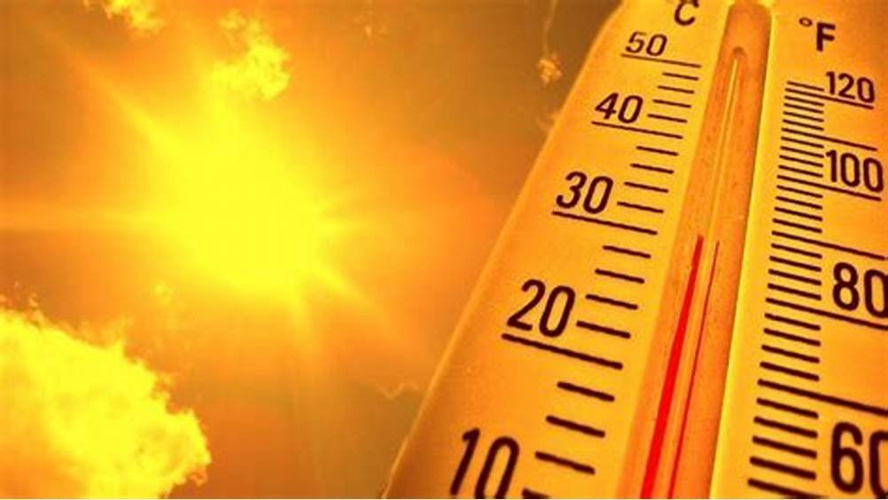
The National Weather Service (NWS) predicts high temperatures on Tuesday (July 15) and Wednesday (July 16) between 95 and 100 degrees.
Key points
- Dangerously hot temperatures, whether its the upper 90s or low 100s possible Tuesday or Wednesday. Model data is still showing a spread of temps, leading to fluctuations in HeatRisk level.
- Major HeatRisk on Tuesday, highest around the Portland/Vancouver Metro and Willamette Valley.
- Moderate HeatRisk today through Sunday, highest through interior valleys.
- Overnight lows Tuesday night into Wednesday morning are expected to be in the mid 60s to low 70s, giving little reprieve from the heat heading into Wednesday.
- Warmer than normal temperatures will pose an increased risk of heat-related illnesses, primarily for individuals extremely sensitive to heat who do not have an effective way to cool down and/or stay hydrated.
- Dry and windy conditions on Wednesday and Thursday however larger fuels are not dry enough.
Changes from previous briefing
- HeatRisk downgraded from Major to Moderate on Wednesday for Portland/Vancouver Metro and Columbia River Gorge and Upper Hood River Valey.
- HeatRisk downgraded from Major to Moderate for Lower Columbia and Cowlitz, Columbia River Gorge and Upper Hood River Va ley, and Cascade Va leys and Foothils.
- Downgraded HeatRisk from Moderate to Minor for al areas on Monday.
Weather risk outlook
Risk levels incorporate potential impacts from weather hazards and likelihood of occurrence for a reasonable worse case scenario.
(Source: PQR — NWS Portland Briefing)
What is a “watch?” What is a “warning?”
The distinctions can get confusing, but the image below simplifies it well: